🔄 Ongoing
Florence is testing how public space in its historic centre can be reallocated to sustainable mobility, public transport and climate adaptation, using sensors and digital monitoring to regulate access and check compliance.
To use public space to support sustainable mobility and public transport, improve accessibility, add climate adaptation measures against urban heat islands, and support data-driven policymaking through continuous citizen engagement.
Comune di Firenze, Direzione Infrastrutture di Viabilità e Mobilità: pilot city.
Servizi alla Strada S.p.A.: local partner.
The Lisbon Council: Urban-Flow coordinator.
Kentyou and Latitudo 40: UTA members and Urban-Flow partners.
Urban-Flow is a four-year project that started in January 2026 and was launched in Valencia. It supports cities in rebalancing public space and mobility through local digital twins and City Living Labs that involve policymakers, citizens and local stakeholders. Valencia, Florence and Tampere are the lead cities, and Brussels, Plzeň and Edinburgh are replicant cities.
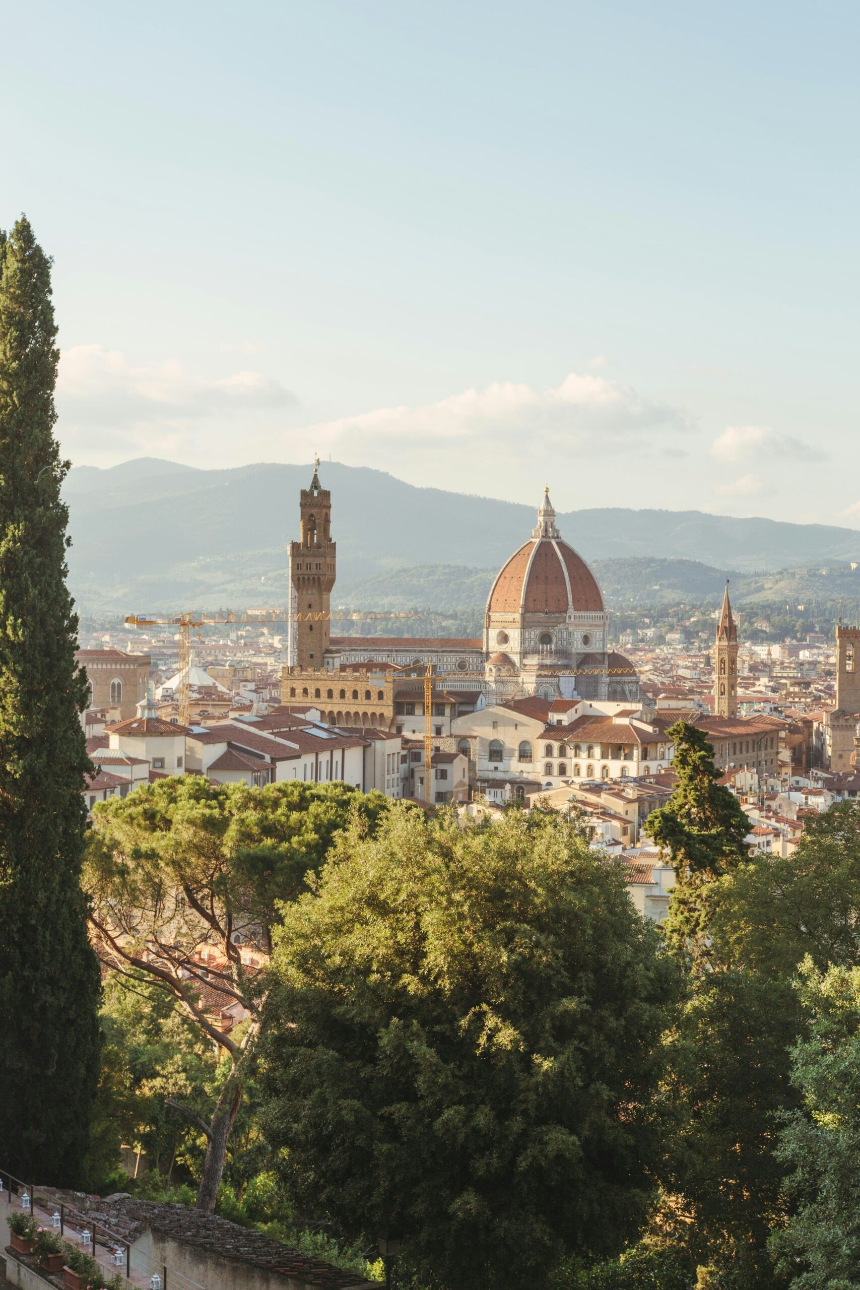
The pilot focuses on public spaces, especially in the historic centre. Work follows the 15-minute city concept and the city’s green plan, must comply with UNESCO World Heritage rules, and is integrated with the “Firenze per il clima” initiative.
An innovative spatial management plan for repurposing public space, including sustainable street furniture, more green areas and traffic-calming measures.
Sensors and digital monitoring to regulate city access, check compliance and manage resources efficiently.
Participation that feeds into policymaking.
A spatial management plan that supports sustainable mobility and public transport in the historic centre, with climate adaptation measures.
Ongoing
To provide the best experiences, we use technologies like cookies to store and/or access device information. Consenting to these technologies will allow us to process data such as browsing behaviour or unique IDs on this site. Not consenting or withdrawing consent may adversely affect certain features and functions.