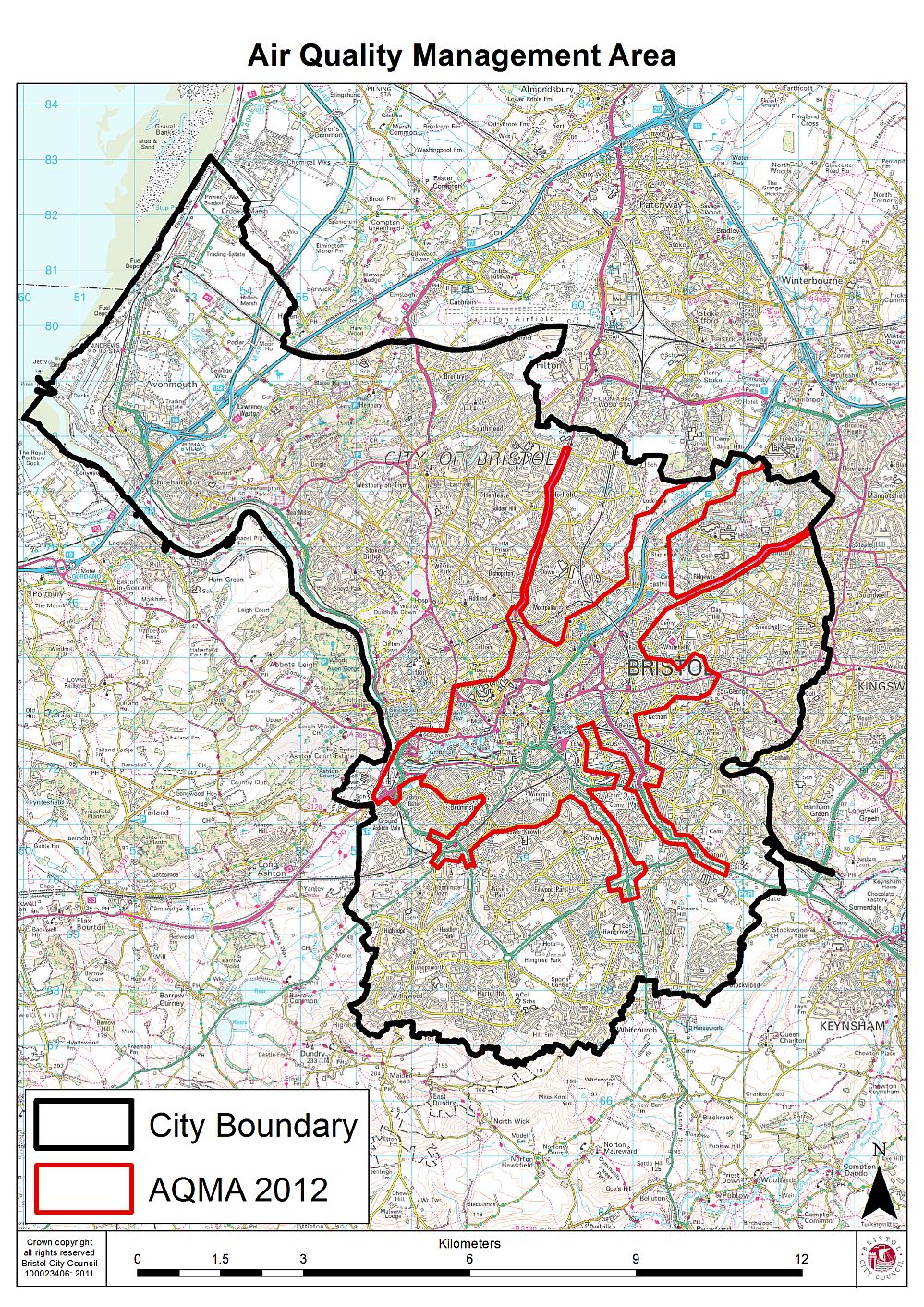
Nitrogen dioxide levels in central Bristol often exceeded legal limits, and long-term measures such as the Clean Air Zone would take years to deliver. Air-quality readings were published openly, but they did not reach people at the moment they chose a route, and no existing tool combined mobility and environmental data to optimise for exposure rather than distance or time.
The service aggregates data on how people move through the city centre with air-quality measurements, and uses this combined picture to optimise walking routes. Instead of the shortest path, pedestrians are guided along routes that avoid heavily congested and polluted streets. The data is stored and processed on the BigClouT platform, with analytics provided through the Knowage open-source suite. The Bristol partners, Bristol City Council and Bristol is Open, developed the use case within the BigClouT consortium, which also included Lancaster University.
– Route optimisation for pedestrians that weighs pollution and congestion as well as distance
– Aggregation of pedestrian movement patterns and air-quality measurements
– Data storage and processing on the BigClouT platform
– Analytics and visualisation through the Knowage open-source suite
Piloted in central Bristol between 2016 and 2019 as part of BigClouT, to help residents and visitors choose healthier walking routes while the city worked on long-term air-quality measures.
Get in touch to explore deployment opportunities or propose a complementary approach.