✅ Finalized
⇨
The University of Cantabria and Ayuntamiento de Santander built a map-based mobility application that pulls the city’s transport and environmental data into a single route recommendation. A traveller enters an origin and a destination and receives five options — bike, walking, car, taxi, and bus — each with distance, journey time, and environmental readings along the way. Behind it sit bus timetables, positions, speeds, arrival times and occupancy; bike, taxi and train availability at specific stops; traffic speed and road occupancy; indoor and outdoor parking availability; fixed and mobile sensors measuring carbon monoxide, nitrogen dioxide, ozone and noise; and the traveller’s own preferences and real-time events reported from smartphones.
To improve traffic management in Santander by fusing the city’s transport, parking and environmental feeds into route guidance that lets travellers choose across five modes on real conditions rather than habit.
Santander City Council — UTA member city Capital of Cantabria and one of Europe’s pioneer smart cities, with a population of 175,425 across 36 km². It has deployed an extensive sensor network since 2010 under SmartSantander, covering parking, environment and traffic, and built an open urban data platform with NEC, Telefónica and EU-funded projects that other European cities now use as a replication template. Its focus areas are mobility, waste management and energy efficiency, with citizen participation and sustainable development alongside maritime and tourism sectors. In this pilot, the council was a ClouT consortium partner and host, supplying the sensor infrastructure and city data the application ran on.
University of Cantabria — UTA member, Academia ClouT consortium partner and the largest European beneficiary after the coordinator, leading the technical work on the Santander trials. The university’s smart city research group operates the SmartSantander testbed.
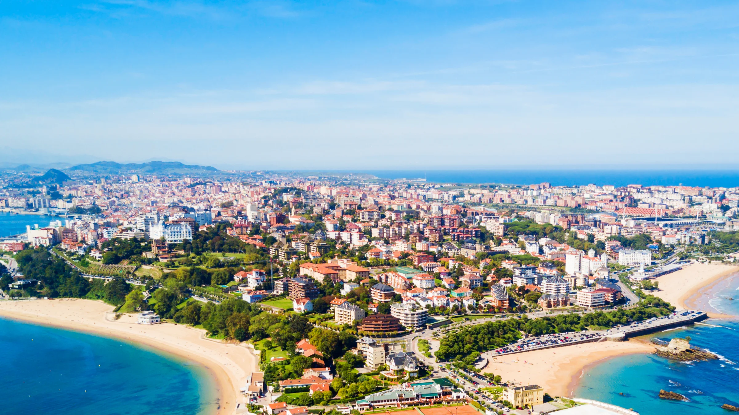
Santander is the capital of Cantabria on Spain’s northern Atlantic coast. It is a coastal city with about 175,000 people living in 36 km² and is considered one of Europe’s pioneering smart cities. Since 2010, it has operated the Smart Santander sensor network. The city focuses on mobility, waste management, and energy efficiency, while also encouraging citizen participation and sustainable development in its maritime and tourism sectors. Santander is a UTA member city. The pilot testbed is notable for its size and design. Smart Santander uses about 3,000 IEEE 802.15.4 devices, 200 GPRS modules, and 2,000 RFID tags and QR code labels. Roughly 2,000 devices in the city centre measure temperature, carbon monoxide, noise, light, and car presence. Nearly 400 ferromagnetic sensors are buried under the roads to detect free parking spaces. Around 60 devices measure traffic volume, road occupancy, vehicle speed, and queue length. In addition, 150 public vehicles carry mobile environmental sensors, and 50 devices monitor soil moisture, rainfall, and wind in the city’s green spaces. Importantly, the project supports both live public services and research at the same time, allowing the research project to create something citizens can actually use.
Santander had already solved the problem most cities still face. By 2013, the city had thousands of sensors in the ground, on street furniture, and on moving vehicles, producing live readings on traffic, parking, air, and noise. What it lacked was the layer that turns that into a decision someone makes on a pavement. Data existed in quantity; it did not reach a traveller choosing how to move. ClouT was the EU–Japan project where Santander built that layer. The European Union funded it, while Japan’s National Institute of Information and Communications Technology supported the Japanese partners. The project ran from 1 April 2013 to 30 June 2016 in four pilot cities: Santander, Genova, Mitaka, and Fujisawa. The project had 13 partners in total: six European partners from three countries and seven Japanese partners, including two research centres, two universities, five large industrial partners, and four cities.
The mobility application included environmental data in route choices, which was unusual in 2013 and is still the pilot’s most innovative feature. In addition to distance and journey time, users could see noise and air quality readings for each option. This meant that choosing between walking along a main road or taking a bus included information about what the traveller would breathe and hear. The project’s example describes a traveller checking roadwork alerts, noise levels, and parking availability near a beach before deciding to take the bus.
The pilot tackled three connected problems.
Tool — multimodal journey planning
This map-based mobile application lets users enter a starting point and destination, then receive five transport options: bike, walking, car, taxi, and bus. Each option includes distance, journey time, and nearby environmental readings. The app uses data from bus schedules, positions, speeds, arrival times, and occupancy, as well as bike, taxi, and train availability; traffic speed and road occupancy; parking availability; user preferences; and real-time events reported from smartphones.
Tool — IoT / cloud architecture
The application worked across ClouT’s three layers: the presentation layer (the mobility transport application), the processing layer (the mobility management module), and the infrastructure layer (IoT gateways and service aggregators that send data to central ClouT storage). These layers are organised as Infrastructure, Platform, and Software-as-a-Service tiers. The same setup was used for field trials in Genova, Mitaka, and Fujisawa.
Completed
The pilot produced a working multimodal journey planner that fused transport, parking, and environmental feeds from one of Europe’s densest urban sensor deployments into a single citizen-facing application.
In 2013, it included environmental exposure in everyday route choices. This was three years before BigClouT’s Bristol pilot tried a similar idea focused on air quality, and about ten years before pollution-aware pedestrian routing became a recognised research field.
It demonstrated that the ClouT architecture could support both a European mobility use case and Japanese environmental and engagement use cases using the same three-layer structure.
To provide the best experiences, we use technologies like cookies to store and/or access device information. Consenting to these technologies will allow us to process data such as browsing behaviour or unique IDs on this site. Not consenting or withdrawing consent may adversely affect certain features and functions.