Status:
✅ Finalized
⇨
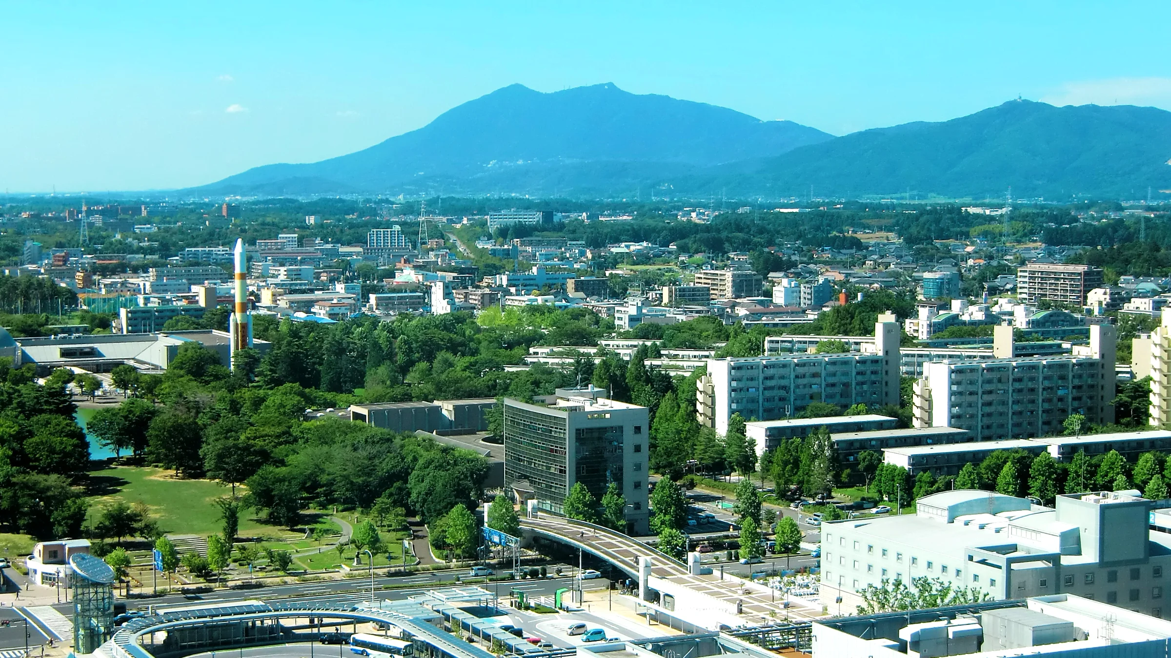
Tsukuba has developed as a science-driven city with a strong concentration of research institutions and advanced infrastructure. However, its spatial structure reflects increasing disparities between central urban areas and surrounding suburban zones.
The divide between urban and suburban areas results in unequal access to services, infrastructure, and economic opportunities. Peripheral areas face reduced connectivity, limited access to public services, and weaker integration into the city’s innovation ecosystem.
While Tsukuba promotes innovation through initiatives such as the Super Science City programme, existing approaches remain fragmented across sectors. There is currently no integrated framework to assess territorial disparities, coordinate planning decisions, or ensure balanced development across the urban area.
The city requires integrated tools and solutions to better understand and reduce territorial inequalities, particularly in terms of mobility, service accessibility, and spatial planning.
– Decision-support tools for spatial and territorial analysis
– Integrated data platforms to monitor urban–suburban dynamics
– Solutions improving mobility, accessibility, and service delivery
– Enhanced coordination between public authorities, research institutions, and service providers
Tsukuba offers a distributed experimentation environment embedded within its research and innovation ecosystem. Solutions can be tested within the framework of the Tsukuba Super Science City Initiative, involving collaboration between research institutions, public authorities, and private partners.
The city provides access to advanced data, scientific expertise, and real-world conditions for testing solutions related to mobility, service delivery, and territorial planning.
Get in touch to express your interest or explore how you can contribute.