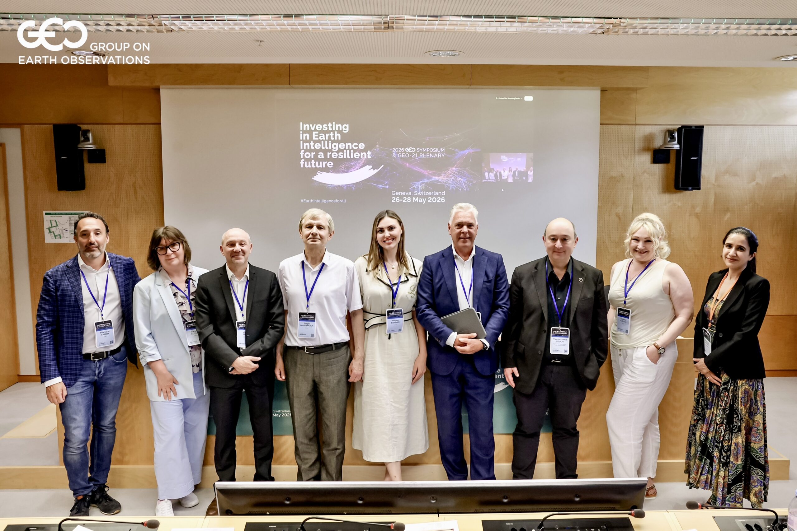
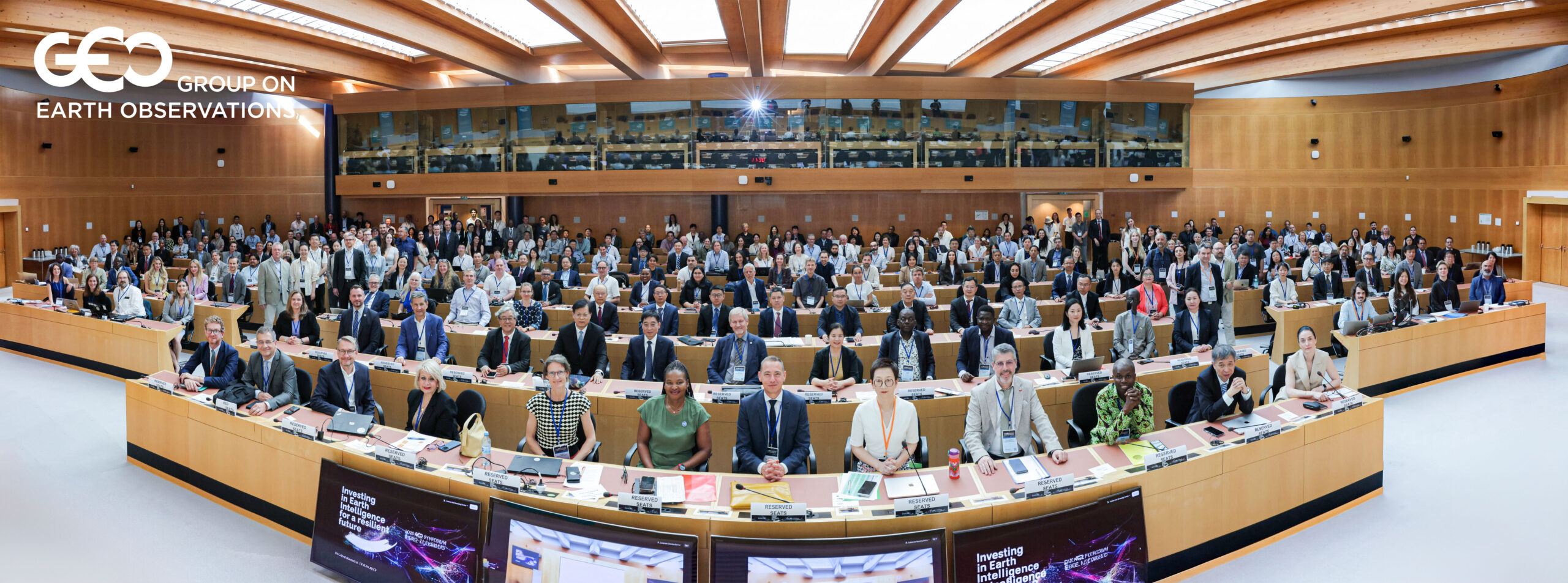
UTA GEO Symposium 2026 brought together governments, space agencies, research institutions, and technology organisations from around the world. The event addressed the future of Earth Observation and Earth Intelligence. This article summarises the key developments and emerging trends relevant to cities, climate resilience, and digital transformation. For more analysis from UTA, visit our news and insights section.
Earth Observation has traditionally focused on data collection. Satellites observe, data is archived, and researchers analyse the results. This model is changing rapidly.
What emerged clearly in Geneva is that the field is shifting from producing data to delivering decisions. The term gaining currency is “Earth Intelligence” — a deliberate choice of language that signals a different ambition. The goal is not just more observations. It is tools that help a city planner choose where to plant trees to reduce heat, or help an infrastructure manager identify where a flood is most likely to cause damage.
Consequently, the most important conversations in Geneva were about this gap — and how to close it. Raw data, however good, does not make decisions. Cities need tools that fit into existing workflows, speak to real planning questions, and deliver outputs in the right format at the right time.
Artificial intelligence is transforming Earth Observation more rapidly than most outside the field appreciate. The change is not just about speed — it is about what becomes possible at all.
Decades of satellite imagery can now be processed in ways that would previously have taken years of expert work. Pattern recognition, change detection, land cover classification, and climate trend analysis are now automated and scalable. As a result, cities no longer need to rely on occasional specialist studies. Near-continuous monitoring becomes feasible.
Several initiatives demonstrated during the symposium apply AI to urban challenges specifically. These include tracking vegetation loss, mapping surface temperature change across city districts, identifying informal settlements, and monitoring urban expansion against planning boundaries. The analytical capability is there. The task now is connecting it to the people who can act on it.
Urban digital twins — dynamic virtual models of cities updated with real-time data — have been widely discussed for some years. What was notable in Geneva, however, was the shift from concept to implementation.
Cities are now using digital twins as operational planning tools, not demonstration projects. When fed with satellite-derived data on temperature, land cover, water surfaces, and built environment change, a digital twin allows planners to test the impact of a policy or infrastructure decision before implementation. Where will a new park have the greatest cooling effect? How will a new housing development affect local flood risk? A well-designed digital twin, grounded in accurate Earth Observation data, can help answer these questions.
The practical value for cities is significant. Better information before decisions means fewer costly mistakes and a stronger basis for public investment in climate adaptation and sustainability.
Of all the applications discussed at the symposium, urban heat resilience showed the strongest connection between satellite technology and practical city management.
The science is clear and the need is urgent. Cities are warming faster than surrounding areas. Heatwaves are becoming more frequent and more dangerous. The communities most at risk — older residents, outdoor workers, people in poorly insulated housing — are often hardest to reach through conventional public health channels.
Earth Observation is well suited to this challenge. Satellite thermal data can identify heat island zones at the level of individual city blocks. Combined with demographic and building data, this approach can map vulnerability precisely enough to guide targeted interventions. Heat resilience services are already active with city governments in West Africa, South Asia, and South America, with European cities following closely.
The message from Geneva was straightforward: the tools exist, they work, and more cities should use them.
One of the more striking developments at the symposium was the falling cost of high-resolution Earth monitoring.
A new generation of small satellites is delivering data at resolutions that, until recently, required large and expensive spacecraft. One initiative highlighted during the event — led by a youth team — provides 16-metre resolution thermal monitoring of 20 cities from a single small satellite. The economics of such a project are fundamentally different from traditional Earth Observation programmes.
Combined with cloud computing and AI-enabled processing, this shift means that continuous, city-scale monitoring is no longer the exclusive domain of large agencies and well-resourced programmes. Furthermore, mid-sized cities, regional authorities, and organisations working in lower-income contexts are increasingly within reach of the data they need.
This democratisation of Earth Intelligence is one of the most consequential developments the field is experiencing. It has clear implications for how cities everywhere approach climate monitoring and environmental management.
A theme running through many of the discussions in Geneva was the changing relationship between the Earth Observation community and city governments.
Historically, EO tools were built by scientists and engineers and then made available to whoever could use them. The direction now is different. Cities are being engaged as co-designers — organisations whose specific planning questions, decision timelines, and institutional constraints should shape what gets built. The tools gaining real traction in urban contexts are those designed around how municipal decisions are actually made, not around what satellites can technically deliver.
This is a significant shift in design philosophy. It means that organisations most likely to benefit from the next generation of Earth Intelligence services are those that engage early, define their needs clearly, and participate in shaping the tools that will ultimately serve them.
For cities and metropolitan authorities involved in Horizon Europe projects or international climate initiatives, this represents a genuine opportunity. The global EO community is looking for urban partners. The appetite for co-development is real and growing. Learn more at the Group on Earth Observations (GEO) website.
The three days of discussion at UTA GEO Symposium 2026 pointed to a few clear directions for the coming years.
Heat monitoring is likely to become standard infrastructure for city governments, in the same way that weather forecasting is today. The combination of affordable satellites, AI analysis, and city-facing platforms will make thermal risk data a routine tool for emergency management and public health teams.
Digital twins will converge with real-time satellite observation at the city scale. Within a few years, the expectation will be that city planning environments are continuously updated with spatial data from multiple sources — not a special project, but a baseline capability.
Earth Observation tools will also become easier to use without specialist expertise. AI-enabled interfaces will allow city officials and planners to query satellite-derived data in plain language. The requirement for a dedicated geospatial analysis team will diminish.
The Urban Technology Alliance works at the intersection of smart city development, digital transformation, and climate resilience. The developments emerging from the UTA GEO Symposium 2026 are directly relevant to the cities and metropolitan authorities we work with, and to the research and innovation projects we support across Europe.
In short, the technologies discussed in Geneva are no longer distant concepts. They are increasingly practical tools that can help cities adapt to climate change, improve planning decisions, and strengthen resilience. The challenge now is not whether these capabilities exist, but how quickly cities can begin putting them to work.